SystemsVideo Tracking
Track without being tracked.
Any moving target is located and tracked without giving away your position.
Passive tracking offers a capability no active sensor can match: nothing for an adversary to detect, jam, or use as a guidance reference. While most tracking systems must emit a signal to operate, we find and follow moving targets using passive infrared and daylight cameras alone. This is the same passive infrared search-and-track (IRST) principle used in modern fighter aircraft. We apply it in ground-based and naval installations, working day and night.

How it works
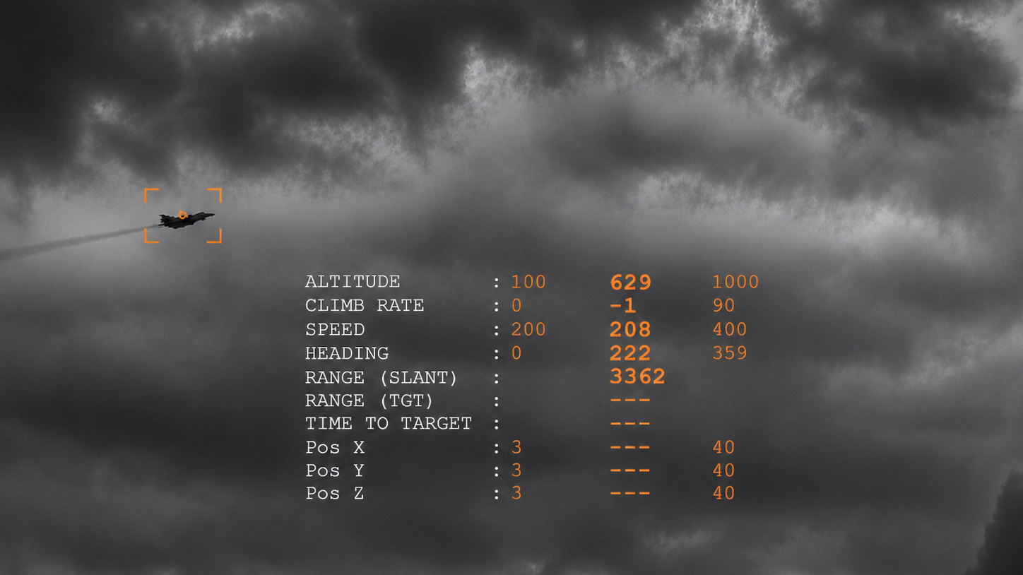
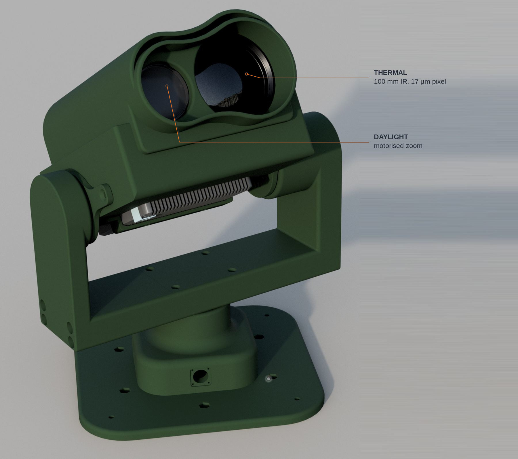
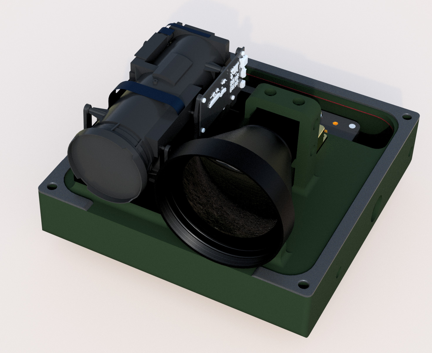
Thermal (IR) and daylight cameras are mounted on a high-precision pan-and-tilt mount with 360-degree azimuth coverage. Two units operating from separate positions triangulate the same target to produce a three-dimensional track of position, velocity and heading. The system acquires and holds track autonomously. Where only one unit can be installed, an optional laser rangefinder supplies the range dimension that triangulation would otherwise provide.
Acquisition
The tracker can acquire a target with no prior cue: no heading, no speed, no external designation. Where a radar or a second tracker is available, the unit will slave to it and hand over to its own sensors on acquisition. Where none is available, it acquires unaided.
Range
Range follows the target. With a 100 mm IR lens, the same unit tracks a large aircraft at 50 km and a fighter at 15 km. The difference is thermal signature, not equipment. Optics are specified for the mission: a longer lens reaches further over a narrower field, a shorter one covers more sky. Figures for your target set and configuration on request.
Integration with existing systems
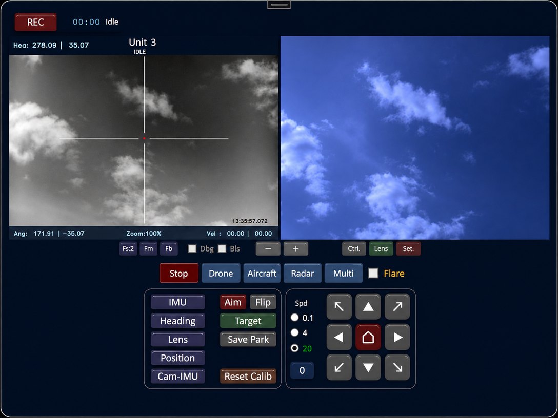
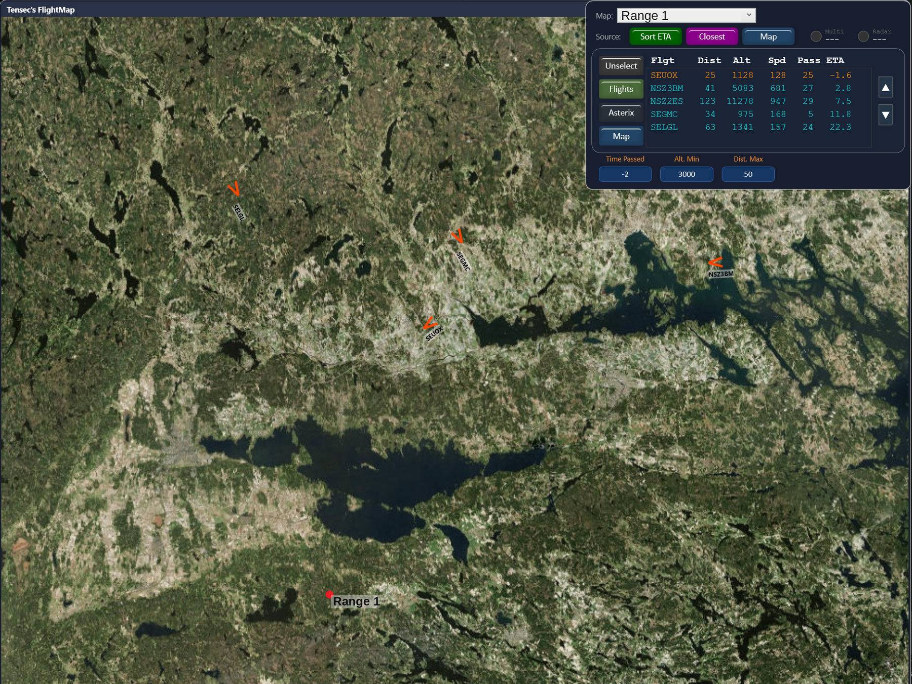
The Tensec tracking system integrates into command and control architectures alongside radar and other sensors. It provides a continuous target track that remains available when emissions are tactically restricted or when emitting systems have been jammed. One unit can also cue another: a tracker that already holds the target hands the bearing to a second unit, which is what makes the triangulated track possible. The system operates independently or as part of an integrated sensor network.
Operational applications
- Airfield and airspace surveillance: monitoring of airfields and surrounding airspace.
- Border surveillance: continuous monitoring of long, remote border sections.
- Coastal surveillance: monitoring of coastal areas and approaches.
- Force protection: early warning around installations and sites.
- Drone detection: detection and tracking of unmanned aircraft (see Anti-Drone System).
- Range safety: monitoring aircraft altitude, dive angle, speed and heading against the approved envelope, with safety distance and time of fire recorded for every pass.
Fixed or mobile deployment
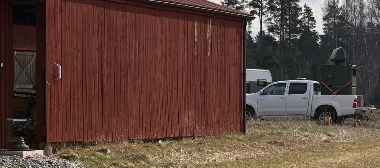
The system can be deployed as a fixed installation or vehicle-mounted, configured for the environmental conditions of its operational area. Installation and on-site commissioning are always included.